Services
GIS services
GIS solutions for data management, manipulation and visualization from wide range of input data. Help your company grow bigger with GIS solutions.
LIDAR extraction and Classification
Vector extraction from point clouds to GIS and CAD formats according to your needs. Manual and semi-automatic classification solutions for terrestrial, mobile and airborne scanning data.

Survey solutions
Survey solutions for mapping projects, constructions or unique needs to reach your project goals.

Development
Do you have an idea, but you need some extra know-how to implement a GIS or mapping technique? Are you in a need of a software or WebGIS application according to your own specification? You found the right place.

Consulting
Knowledge is not for keep. Consulting services for companies in laser scanning, combined survey solutions, or point cloud data extraction.
About
My name is Bálint Molnár, land surveyor and land management engineer, GIS specialist and senior LIDAR specialist from Hungary. I'm working with laser scanners and point clouds for more than 10 years. Combined with my general interest and knowledge with traditional land survey and GIS, I'm offering my services as Molnar Geomatics to everyone, who seeks an extra hand or support for their projects. I developed a good problem solving skill, and I spent years to understand the needs of the clients. I worked and lived in Singapore, supported Indian and European production teams, measured open-cast mines, parks, industrial sites and many more with total station, GNSS system and terrestrial scanners as well. I came from the production environment with above 14.000 hours of vector extraction and thousands of hours of post-processing. I feel comfortable at the production level and the management level as well and I'm aware of the landmines, which lies ahead of a mapping or scanning project. I'm capable of understanding the complexity behind mapping techniques, and I have a very good sense to find the best solution for the given tasks.
Partners
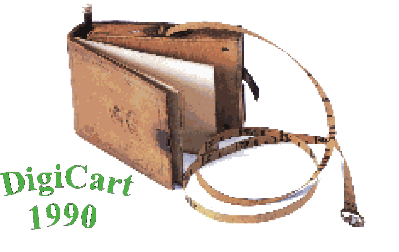
Digicart is a very well-known company at the Hungarian market as the developers of ITR and PointCloudScene software. They also offer geodesy and industrial-geodesy services.
LIMAP is one of the oldest partner of mine. Trusted service provider in laser scanning and photogrammetry in Baltic region, focusing mostly for road and rail scanning and vector extraction.
Probably everyone know an expert, who can fix everything. At Clarify Clouds, all type of point cloud manipulation, adjustments and classification tasks can be fixed. Give them a try, if something very complex required for your clouds!

A trusted surveyor in cadastre mapping and traditional land survey.

Service provider for municipality GIS systems and vector extraction from terrestrial and mobile laser scanning datasets. On the market for more than 20 years.

A powerful point cloud vector extraction tool. If you looking for a good tool, this is the one for you. Database-focused, CAD compatible, and comes with a super convenient 3D handling. PCS is highly effective for production environments. If you ever struggled with a CAD software for point cloud extraction, this is the tool for you.

Centrál Geo offers a wide range of services, including mobile mapping, photogrammetry and geological services as well.

There is no-one, who can use all total stations, GNSS systems, and other optical instruments from all manufacturers, however GeoEdu team is very close to this. If you need training for your instruments, you can find help here, including older devices.

Focusing mainly on road and building constructions, Engi Geo offers trusted geodesy services with total station, UAV and TLS scanning at a high level. Operational area is mainly Western-Hungary and Austria.
My Vision
I believe that the most common company form, „limited” is not the best if you take into account the employee's needs. The reason behind is that, the employee might not motivated enough, as the salary, career options, contacts and other opportunities are controlled by the employer. I think a cluster of talented self-employed individuals is way more effective as every single person's opportunities are clearly depending on his/her own skills and talent. In that way the person is more motivated with a higher level of morale. A group of such engineer or specialist can easily handle even bigger projects. My vision is that mapping, GIS and point cloud data extraction projects can be done by a cluster like that, so we can raise a new generation of experts, who learn from each other, not limited by company rules, and building their own company, using their own skills to achieve more. I am building a network of experts, where the members of the cluster can help each other. In that way, there is always someone, who has the relevant knowledge for the project. I am happy to share my knowledge and experience with those who really want to improve themselves or want more than what they have. I learned from the best mentors available in my country, but this opportunity is not given for everyone. However, there are many people out there in this wide world, who could achieve more with a proper mentoring. I'm happy to help those people, as this is my own interest as well: build a strong cluster to work on project in the whole mapping and GIS industry together. If you one of those people, who I speak of, contact me, and work help me grow the cluster!